
Walk a Kennesaw Street
A sound Kennesaw street directory search separates ownership from occupancy. The Cobb simple property search links one house number and street to a parcel record. That card can identify the record owner, mailing address, situs address, parcel key, sale references and exemption data. It does not name each person who lives there. Move from that record to the map, deeds and lawful historical sources, and keep each type of evidence in its proper role.
- Enter only the house number and street. Leave out the unit, city, state and ZIP, as the Cobb form directs.
- Copy the parcel ID, owner, situs, mailing address and latest deed reference. Open the parcel in Cobb GIS and check the city boundary.
- Use the deed book and page or instrument number in the Superior Court Clerk's land index. Confirm the legal description before joining records.
- For lawful voter research, request releasable voter-list fields from Cobb Elections. My Voter Page cannot list a street.
- For older occupants, consult Kennesaw-inclusive street sections in the Switzer Library Georgia Room. Treat omissions with care.
The chain is address to parcel, parcel to owner, owner to deed, then occupant evidence. Each link answers a different question. This order also reduces same-street errors when road suffixes or postal boundaries are unclear.
Preserve the exact road direction and suffix shown by the county. Kennesaw records often use NW on modern roads, and a shortened street name can return the wrong parcel or no result. If a number fails, search the road in GIS, inspect nearby parcel labels, and compare the legal description. Do not force an old address onto a current lot merely because the numbers are close. The map, parcel ID and deed description must agree.
Kennesaw Address Search Fields
Cobb offers two useful entry points. The simple gateway is best when the address is known. QPublic adds owner, location and parcel modes. A location search is the closest modern counterpart to a street directory, while a parcel search is best after the county key has been copied.
| Portal field | Use | Format note |
|---|---|---|
| House Number | Find one situs | Number only |
| Street | Match the road name | Omit unit, city, state and ZIP |
| Owner | Find parcels tied to a name | Use name variants if needed |
| Location | Search by property address | Keep direction and suffix consistent |
| Parcel ID | Open an exact tax record | Copy from the parcel card |
The official Cobb address form shown below makes its narrow input rule plain.
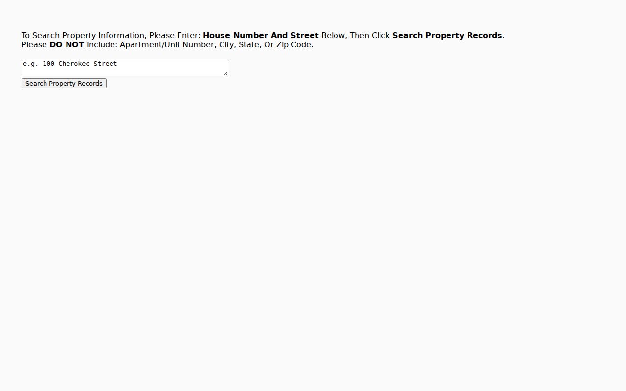
That spare form is useful because extra postal details can cause a miss. Once it returns a parcel jump, preserve the displayed identifiers before moving on.
Browse Kennesaw Parcels by Street
The Cobb GIS collection turns one address into a street-scale view. Zoom until parcel outlines are clear, click the subject lot, then click adjacent polygons. Pop-up arrows help when several layers overlap. Available apps may offer selection, measure, print, aerial imagery, zoning, floodplain, voting district and municipal-boundary layers. Tool sets differ by app, so manual parcel clicks remain the dependable method.
The captured Cobb GIS view gives the Kennesaw street directory a map layer that the parcel card alone cannot provide.
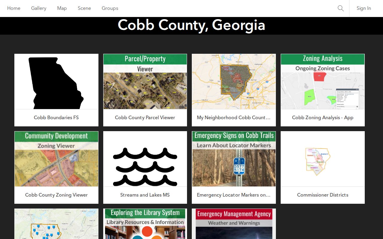
Geometry shows lots and their relation to a road. It does not show social ties or all occupants. Open each parcel's assessor link separately and record facts without assuming that neighbors share a household.
Kennesaw Records Found by Street
No single Kennesaw street directory contains every address fact. The assessor, GIS, recorder, voter file, permits and printed street sections cover different slices. Online portals are only part of access. Older deeds may require the Deed Room or Archives microfilm, city files may require an open-records request, and historical directories must be read onsite.
| Record Set | Keeper | What It Shows | Access |
|---|---|---|---|
| Parcel and tax card | Cobb Board of Tax Assessors | Owner, mailing and situs, parcel, sale reference | QPublic, simple search, assessor office |
| Parcel map | Cobb and Kennesaw GIS | Lot shape, adjacency, boundary and map layers | ArcGIS viewer or GIS data contact |
| Deeds and plats | Cobb Superior Court Clerk | Parties, book/page, legal description and recorded image | Landmark, legacy inquiry, Deed Room, microfilm |
| Voter list | Cobb Elections | Legally releasable registered-voter name and address fields | Records request, not MVP street browsing |
| Permits and code files | Kennesaw or Cobb | Work, inspections, notices and outcomes | Narrow address request to correct jurisdiction |
| Printed street section | Switzer Georgia Room | Historical occupants and businesses in number order | Onsite volumes |
Use the parcel ID and legal description to hold the modern records together. Street spelling is less stable than those keys. The recorder's alternate inquiry includes Street Name and Land Description modes, but a street hit is discovery evidence until the deed's land description matches the parcel.
Offline access matters. The Cobb Superior Court Clerk's Deed Room at the county courthouse is the fallback for older index books, recorded plats and images that are absent online. Georgia Archives microfilm can extend the search further. For assessor questions, contact the county office instead of guessing from a blank portal response. For permits or code files, send the address to the city or county office selected by the GIS boundary. These channels keep a Kennesaw street directory search moving when a web tool is down, incomplete or poorly indexed.
Kennesaw Mailing and Situs Clues
A situs address is the physical location taxed by the assessor. An owner mailing address is the place chosen for tax correspondence. It may be a post office box, an agent's address, another city, or an old address after a move. A match between mailing and situs, paired with a homestead exemption, supports possible owner occupancy. It still does not list every person in the home.
- Parcel
- A mapped tract with a county assessment key.
- Situs address
- The physical property address used by tax and permit systems.
- Plat
- A recorded map showing subdivision lots, blocks, roads and easements.
- Criss-cross directory
- A printed directory arranged by street address or phone rather than only by surname.
This distinction prevents a common street directory error: treating a correspondence address as proof that an owner resides there. It also keeps a deed owner from being mistaken for every occupant at the site.
Turn Kennesaw Parcels Into Deeds
The Cobb Landmark search accepts name, document, book/page, parcel, date, instrument and legal modes. Start with the deed reference copied from the assessor card. The deed identifies grantor and grantee, recording facts, return address and land description. Grantor means the party conveying an interest; grantee means the party receiving it.
The alternate Web Public Inquiry offers grantor/grantee, street and land-description searching, but it displays index data through October 1, 2024. Treat it as a legacy discovery path, not proof that newer filings do not exist. The Deed Room supplies books, plats and official copies when an image or older index is missing.
Effective in 2025, a self-filer of Georgia real-estate documents must use electronic filing and complete photo identity verification. That rule changes filing practice, not the public inspection path used for the street directory.
Kennesaw Permits Follow Boundaries
Building and code records can add dates, work descriptions, applicants, contractors, inspections and outcomes to an address history. First test the parcel in the Kennesaw maps and boundaries resources. A postal line that says Kennesaw does not prove that the city issued the permit. Parcels outside the incorporated boundary belong with Cobb Community Development.
For a city parcel, ask Kennesaw Building Services for permit applications, issued permits, inspections, certificates of occupancy and plans as separate categories. The operational inspection process requires a permit number and contractor code, so it is not a public street index. A narrow request should state the complete situs and a date span.
Annexation can change the custodian without changing the postal city. No verified Kennesaw-wide street renumbering date was found, so do not invent one when old and new numbers conflict.
Kennesaw Voter Records by Street
Georgia's My Voter Page verifies one voter's registration after identity facts are entered. It cannot enumerate a block. Georgia law makes names and addresses in voter lists public, subject to protected fields, so a true by-street view requires a lawful request to Cobb Elections and sorting the releasable residence-address field.
| Access route | What it does | Street limit |
|---|---|---|
| My Voter Page | Checks one voter's status and districts | No block or street list |
| Cobb Elections request | May supply lawful releasable voter-file fields | Request geography, date and format |
| VoteSafe | Protects eligible voter residence addresses | Protected entries remain suppressed |
A voter record proves registration data at a point in time, not every person at an address. Month and day of birth, identification numbers and protected VoteSafe addresses remain confidential.
Kennesaw Streets in Print
The Switzer Library Georgia Room holds confirmed Kennesaw-inclusive directories for 1977, 1985–86 and 1987. Their street sections can place listed occupants or businesses in house-number order. Later Haines Atlanta Northwest Suburban volumes for 2007 and 2008–09 may provide address and phone-based criss-cross coverage, but each volume's boundary statement must be checked.
These editions are not an annual Kennesaw run. Gaps can mean no volume was held, no volume was published, a household was missed, or a person declined the canvass. For collection details and reading conventions, use the Kennesaw city directories rather than treating a printed absence as proof.
Copy the edition year and page with every address. That citation lets another researcher check the same Kennesaw street entry and judge the publisher's limits.
Big Shanty Street Searches
Kennesaw grew from the Western and Atlantic Railroad stop called Big Shanty and adopted the Kennesaw name in 1887. Nineteenth-century address research may therefore sit under Big Shanty, Cobb County, a militia district, a land district and lot, Acworth, or Marietta. Modern street wording is often the wrong first index term for that era.
Old deeds and tax digests depend more on land descriptions than postal addresses. Search the person and land key together, then use railroad records, maps, newspapers and county histories to rebuild place context. Georgia's missing 1790 through 1810 census schedules and the destroyed 1890 population census make these substitutes especially important.
Limits of Kennesaw Street Records
Tax and GIS records list a parcel and record owner, not all household members. A deed proves a recorded property interest, not who slept at the address. Apartment units may collapse into one tax parcel. Utility customer and motor-vehicle address data are not public street directories, protected voter addresses are suppressed, and a post office box is a mailing destination rather than a situs.
Commercial compilations can be stale, merge units or miss recent moves. Prefer the official record that fits the question and verify it with the custodian. When the goal shifts from a whole road to one named person, the Kennesaw resident lookup keeps the evidence focused.
Lawful use. Use Kennesaw address records only for lawful personal research. Public access is never permission to stalk, harass, threaten or harm anyone.